Down Tor Stone Circle Down Tor Stone Circle is a stone circle near Down Tor, Dartmoor. Also called Hingston Hill Cairn. Foggintor Quarry is not far to the northwest, where the stones could have been quarried, along with Down Tor, which is currently a national park. Crazywell Cross is to the north and Drizzlecombe to the south. Coordinates 50.506060,-3.994103 Description Down Tor Stone Circle consists of a long stone row with a circle of stones at the end towards the southwest. This can be considered similar to Drizzlecombe in shape and construction, and is 2 kilometers away. Measurements This tor and circle are angled at 22° towards the southwest, with the row at a length of 755 feet or 230 metres. Analysis It is possible that Down Tor Stone Circle is similar to Drizzlecombe, which was shown to be possibly connected with the golden ratio and π or 9πφ together. The circle is 40 meters wide. If using the 22° on the circle towards the northwest, then all stones pair...
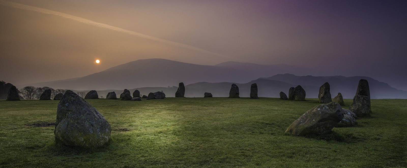
Castlerigg Stone Circle
Castlerigg stone circle near Keswick in Cumbria.
It is possibly connected with a Neolithic/early Bronze Age Langdale axe industry and a location for trade.
It is currently owned and managed by English Heritage, the circle is centred in the Lake district between passes and thought to align with solstices and sunrise.
The circle measures 32.6 m (107 ft) at its widest and 29.5 m (97 ft) at its narrowest, the official number or stones stand at 40, on their model stone circle there are 37 stones on the circumference and a further 10 inside.
The angles 48°/42° (used for primers) and 74° are used. Primers are derived from using the angles joining stones together. Usually, two stones on the same line equals 1 or 2, and only one equals 0 or 1. Here two are 1 and one is 0.
74° clockwise
48° anti-clockwise
Primers
1-1-1 0 1--11111
1---1-- X
Dashes as 0, 1 as 1 with groups.
=21×(100+5)
=1000/100/x
Using the numbers derived from above, these confirm the angles used and the following are produced.
74°÷3600=0.02055
2205÷10=220.5
2205×0.02055=45.31275
×3600=163125.9
÷1000=163.1259
This could be interpreted as 163° rotation and 1259 bc.
2205÷0.02055÷1000=107.299
220.5×0.02055÷360=29.805
These numbers are then equal to size in feet and metres, as have been measured by archaeologists.
Ring of Brodgar
The Ring of Brodgar is connected to this site by the interpretation of the equations. The angle 163° is used to rotate the stone circle, giving directions to other settlements like a map.
From Ring of Brodgar and using 163° rotation, the angles 9°/12°/20°/22°/35° are produced, two don't align with any known settlements, but three do.
During the Roman invasion of Britain, a Roman Legion was based in the area, most probably near Whitehaven. As some Neolithic sites were thought to have been altered by the Romans, this site seems to be untouched.
Castlerigg Stone Circle
Archeology77 ©

Comments
Post a Comment